
PLATFORM OVERVIEW
TERRALIS
Land information & field collection
← Back to all projects
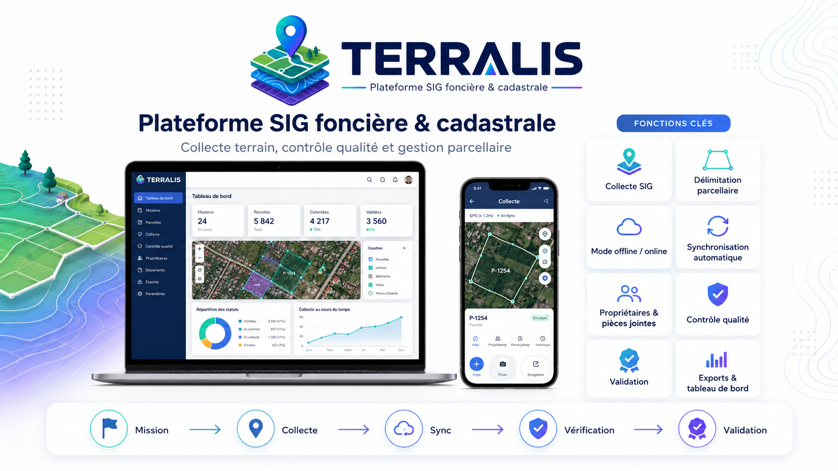
A geospatial platform connecting field collection, parcel information and quality review.
The challenge
Land information requires a clear relationship between geographic objects, supporting records and validation workflows.
Our engineering focus
- 01Parcel mapping & georeferenced collection
- 02Field-to-office review and validation
- 03Web, mobile & synchronisation architecture
Project scope, delivery references and demonstrations are available on request, subject to confidentiality.
LET’S BUILD SOMETHING THAT MATTERS
Bring us your
next challenge.
A new platform. A complex integration. A better way to see your data. Let’s start with the problem you want to solve.